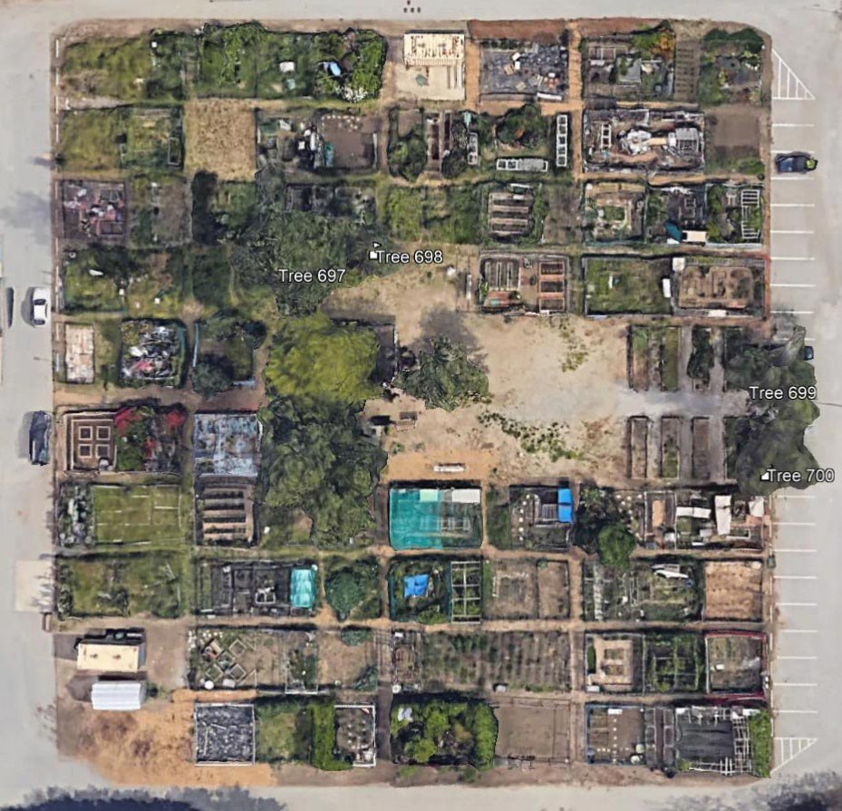
Tree inventories and surveys help to identify the trees you have on your project and their locations.
JTL Consultants uses ArcMap GIS software to create detailed project maps from scratch. By integrating project data such as building footprints, testing locations, and roads with tree locations, we can assess potential impacts of a project on the surrounding trees. Tree field data is collected in ArcMap and can be used for tree maintenance management, such as pruning, planting, and replacement.